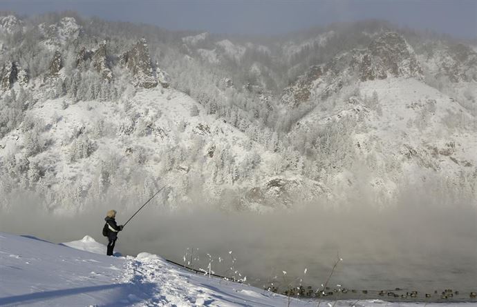
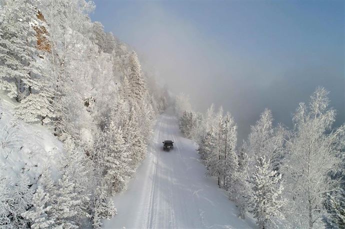
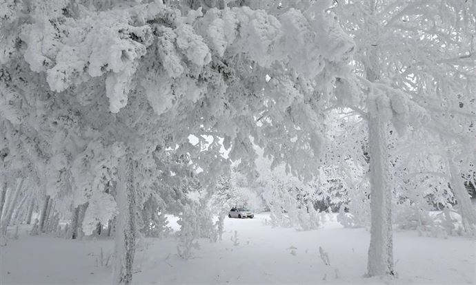
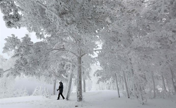
Snowy landscapes on the bank of the Yenisei River in the Siberian Taiga area, with the air temperature at about minus 35 degrees Celsius (minus 31 degrees Fahrenheit), outside Krasnoyarsk, Russia. The Yenisei is the largest river system flowing to the Arctic Ocean. It is the central of the three great Siberian rivers that flow into the Arctic Ocean (the other two being the Ob and the Lena). Rising in Mongolia, it follows a northerly course to the Yenisei Gulf in the Kara Sea, draining a large part of central Siberia, the longest stream following the Yenisei-Angara-Selenga-Ider river system. The maximum depth of the Yenisei is 24 metres (80 ft) and the average depth is 14 metres (45 ft). The depth of river outflow is 32 metres (106 ft) and inflow is 31 metres (101 ft).
The first team to navigate the Yenisei’s entire length, including its violent upper tributary in Mongolia, was an Australian-Canadian effort completed in September 2001. Ben Kozel, Tim Cope, Colin Angus and Remy Quinter were on this team. Both Kozel and Angus wrote books detailing this expedition, and a documentary was produced for National Geographic Television. A canal inclined plane was built on the river in 1985 at the Krasnoyarsk Dam.
Nomadic tribes such as the Ket people and the Yugh people have lived along the banks of the Yenisei river since ancient times, and this region is the location of the Yeniseian language family. The Ket, numbering about 1000, are the only survivors today of those who originally lived throughout central southern Siberia near the river banks. Their extinct relatives included the Kotts, Assans, Arins, Baikots, and Pumpokols who lived further upriver to the south. The modern Ket lived in the eastern middle areas of the river before being assimilated politically into Russia during the 17th through 19th centuries. Wheat from the Yenisei was sold by Muslims and Uighurs during inadequate harvests to Bukhara and Soghd during the Tahirid era.

Russians first reached the upper Yenisei in 1605, travelling from the Ob River, up the Ket River, portaging and then down the Yenisei as far as the Sym River. During World War II, Nazi Germany and the Japanese Empire agreed to divide Asia along a line that followed the Yenisei River to the border of China, and then along the border of China and the Soviet Union.